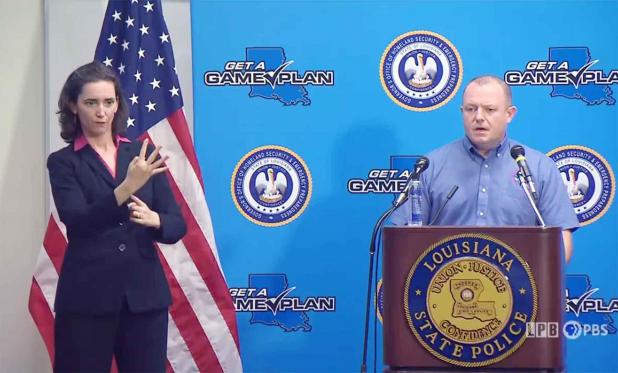
Meteorologist Benjamin Schott speaks to reporters at Wednesday's press conference in Baton Rouge.
Screen Capture from LPB
Still recovering from Laura, La. braces for another blow
Louisiana, still struggling from the damage inflicted by Hurricane Laura in August, is hunkered down again as Delta, another potentially devastating hurricane, winds toward the Gulf Coast.
At a Wednesday press conference, Gov. John Bel Edwards warned that Delta could be a hurricane throughout what is predicted to be a southwest-to-northeast sojourn across Louisiana beginning Friday afternoon.
At 4 p.m. Wednesday, the center of the five-day prediction cone looked like landfall could be west of Vermilion Bay, possibly in the Cameron Parish area already hammered by Laura.
But a hurricane watch extends from High Island, Texas, through the Tri-City area to Grand Isle. A storm surge watch extends from High Island to the Alabama-Florida border as some areas are expected to see a surge of 7-11 feet.
And, as National Weather Service meteorologist Benjamin Schott said again at Wednesday’s press conference, hurricanes land outside the forecast cone about a third of the time. If you’re in an area where a watch or warning is in place, be prepared, he said.
“The next 24 hours are critical for preparation,” Schott said.
The key factors are how much Delta will intensify over the Gulf and when it will begin its expected turn to the northeast, the turn that is predicted to bring the storm to Louisiana’s coast. Wind shear is expected to weaken Delta to some degree as it nears the coast and moves over slightly cooler water.
Schott noted that Hurricane Sally, which had Louisiana in its sights at one point according to the National Hurricane Center forecast, departed far enough from the forecast in 24-36 hours to hit east of Mobile, Alabama.
But “nobody should look at the forecast and say, ‘I don’t have to do anything …,’” Edwards said. “Everyone needs to pay attention.”
The latest forecast is for Delta to come ashore as something less than a major hurricane, but a Category 2 storm could still bring wind of 100 mph.
Delta is moving fast and may come to Louisiana at a speed of 15 mph. That reduces the risk that rain bands will park over a given area and dump catastrophic rainfall. But Delta is still expected to bring 4-8 inches of rain over a large area and up to 10 inches in some spots, enough to cause river flooding and flash flooding.
The 7- to 11-foot storm surge is expected in the area between Vermilion Bay and Port Fourchon.
“There’s definitely going to be coastal flooding well away from the center,” Schott said.
Delta follows Hurricane Laura, which Edwards said is responsible for keeping thousands of Louisiana people out of their homes more than a month after the storm.
“I’m concerned that the five hardest-hit parishes are in the [Delta] cone,” Edwards said.
Laura caused moderate damage to 38,000 buildings and major damage to 35,000. Another 10,000 buildings were destroyed, Edwards said.
Power has been restored nearly everywhere outside low-lying Cameron, but the grid lacks the redundancy that it normally has, Edwards said.
The governor pointed to one positive development: Public health statistics show no sign of a third surge in COVID-19 cases despite the scattering of evacuees from southwest Louisiana, Labor Day activities, and the opening of K-12 schools and colleges.
“A surge didn’t happen because of the degree to which people are following the mitigation measures,” Edwards said.
