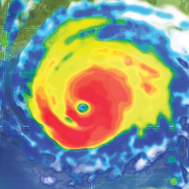
NWS statement on possible Harvey impacts
Vernon-Rapides-Avoyelles-Beauregard-Allen-Evangeline-St. Landry-
Calcasieu-Jefferson Davis-Acadia-Lafayette-Upper St. Martin-
Vermilion-Iberia-St. Mary-Lower St. Martin-West Cameron-
East Cameron-Tyler-Hardin-Jefferson-Orange-Northern Jasper-
Northern Newton-Southern Jasper-Southern Newton-
525 AM CDT Wed Aug 23 2017
This Hazardous Weather Outlook is for portions of central
Louisiana, south central Louisiana, southwest Louisiana, west
central Louisiana, and southeast Texas.
.DAY ONE...Tonight
Looking for showers and thunderstorms to develop this afternoon
continuing into this evening before dissipating. A cold front
moving through southern Arkansas is expected to move into
Louisiana making the coast around sunrise tomorrow.
.DAYS TWO THROUGH SEVEN...Thursday through Tuesday
Thursday will see a return of afternoon showers and thunderstorms.
The real change to our weather is Harvey which is in the Bay of
Campeche. The Hurricane Center expects Harvey to reform back into
a cyclone moving off to the northwest and guidance is suggesting
the storm will make landfall along the central Texas coast by
late Friday The system is expected to stall before moving towards
southeast Texas and into southern Louisiana. This is expected to
produce heavy rains over the weekend and into Monday. Rains are
expected to produce flooding in locations across the region. Five
to eight inches of rain is expected with some locations receiving
higher amounts.
