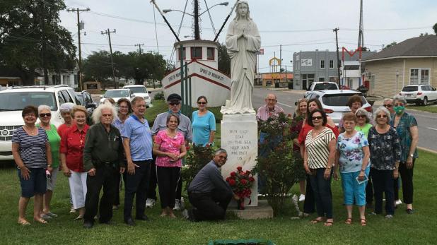
The Confraternity of Our Lady Star of the Sea made its annual petition for protection as the hurricane season begins.
Submitted Photo
Early start for hurricane season this year
Monday is the first day of hurricane season, and the Atlantic-Gulf Basin has already seen some tropical action.
A system over the Yucatan Peninsula is expected to drift into the Bay of Campeche and develop into a tropical depression this week.
Tropical Storm Bertha reached the 39 mph threshold for tropical storms only about an hour before making landfall Wednesday in South Carolina, causing heavy rain.
And Tropical Storm Arthur, barely strong enough to be called a tropical storm, scraped the North Carolina coast May 18 and dumped 4 to 5 inches of rain before heading off into the Atlantic.
The National Oceanic and Atmospheric Administration is predicting a more active season than we’ve seen in recent years.
The NOAA thinks the country will see 13-19 named storms, six to 10 of which could become hurricanes with sustained winds of at least 74 mph.
Three to six of those will become major hurricanes with sustained winds of at least 111 mph, the NOAA prediction said.
The other most widely watched prediction, from Colorado State University, was issued in April. The prediction there was for 16 named storms, eight hurricanes and four major hurricanes.
The culprit this year is diminishing of the El Niño ocean temperature pattern in the south Pacific. An active El Niño season tends to generate winds from the west that discourage hurricane formation and development.
But El Niño has given way to La Niña, a pattern that has the opposite effect.
Also, warmer-than-average sea surface temperatures in the tropical Atlantic Ocean and Caribbean Sea, coupled with reduced vertical wind shear, weaker tropical Atlantic trade winds and an enhanced west African monsoon all increase the likelihood for an above-normal Atlantic hurricane season.
Similar conditions have been producing more active seasons since the current high-activity era began in 1995.
This area’s most recent brush with a hurricane was last year, when Hurricane Barry struck in mid-July during a time when flooding was widespread here.
The expected torrential rain didn’t materialize, but the winds were strong enough to cause power outages across the parish for most of a weekend. The storm surge also pushed the Atchafalaya River at Morgan City to 10 feet briefly.
An extra complication is being created this year by COVID-19, which could lead to hard decisions about shelter designation if a hurricane hits.
Hurricane season is generally considered to end Nov. 30.
