Morgan City Mayor Frank "Boo" Grizzaffi talks during a special city council meeting Tuesday afternoon while city clerk Debbie Harrington looks on. The city council unanimously declared a state of emergency due to Hurricane Delta's threat on the area. (The Daily Review/Geoff Stoute)
Delta's latest shift not good for St. Mary Parish
While Hurricane Delta’s final destination could shift, the current track that was released in the National Weather Service’s 4 p.m. briefing puts it in an unfavorable situation for St. Mary Parish, local Office of Emergency Preparedness Director David Naquin said.
The track moved west in its latest forecast, and, if it stays on its current trajectory, it will make landfall as either a category 2 of 3 storm sometime in the late hours Friday or early morning Saturday in Pecan Island, which is located between Lake Charles and New Iberia.
“Now it could move a little bit further west tomorrow,” Naquin said Wednesday. “It could come back to the east tomorrow. We’re going to just have to play that by ear.
“Pecan Island landfall gives us storm surge, it gives us rain and it gives us the wind from the storm, which is all three,” Naquin added. “We could probably put up with the wind and the rain, but the storm surge and the rain are some things that it’s just going to be a little bit more difficult for us to handle.”
The good news is the National Weather Service’s current track has been made with “only a medium confidence level,” Naquin said.
“Let’s give it tomorrow, and then after tomorrow, we should know maybe a little bit more about where it’s going to pass and then we’ll start discussing impacts and tidal surge,” he said.
As for projected Atchafalaya River levels, Naquin said the parish probably won’t get a good indication of what type of rise Delta would cause until probably Wednesday or Thursday.
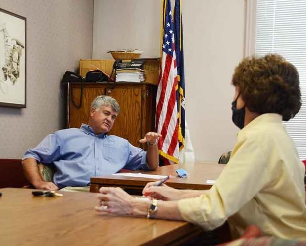
In the meantime, the Morgan City Council met Tuesday afternoon at City Hall to declare a state of emergency in anticipation of the storm.
Mayor Frank “Boo” Grizzaffi said the city already has begun its hurricane preparations with some floodgate closures and has sand available for residents under the U.S. 90 overpass at David Drive.
Grizzaffi said the likely culprit in the storm for Morgan City will be the wind.
“I don’t think we have a threat from the water, but we’re going to have a threat from the wind and from power outages,” he said.
In Berwick, Mayor Duval Arthur said the town has ordered sand, and it likely will be available Wednesday under the U.S. 90 bridge at Town Hall. He said the town likely will close their floodgates at Pacific and Lima streets, while the Berwick Civic Complex is being prepared in case it has to be used as a shelter.
“Berwick is taking the normal hurricane protection measures,” Arthur said.